26 June 2026
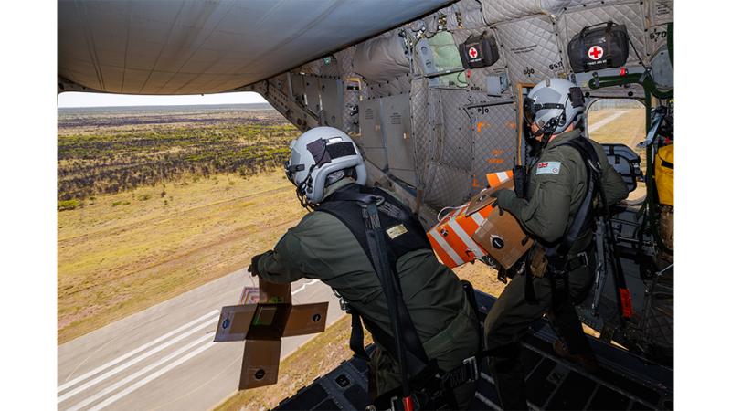
Defence scientists are working closely with the Australian Defence Force to strengthen Army’s ability to operate in coastal areas.
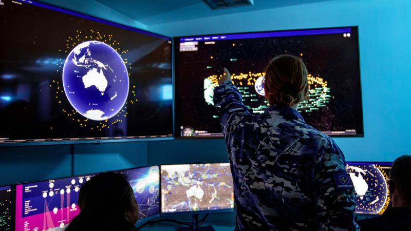
To operate effectively near the coast, commanders need a detailed understanding of what lies beneath the waves before they decide when, where and how to approach the coastline.
During a recent trial, Defence scientists demonstrated how emerging sensor technologies could be used to build a clearer picture of the environment.
This experimentation could support Army’s new Littoral Manoeuvre Group with its mission to move, deploy and support land forces in coastal and island regions.
A multidisciplinary team from Defence Science and Technology Group (DSTG) partnered with personnel from Navy and Army, and researchers from the University of Sydney, to conduct the Multi-Sensor Beach Survey Trial on Currarong Beach on the south coast of New South Wales.
“The first question we’re looking to answer is: if we were to augment human ability to survey the beach, what would we augment it with?” said DSTG maritime autonomy expert Amelia Eggerking, who led the trial.
“Our intent was to get as many different sensors and systems as we could looking at the same piece of beach in the same timeframe so that we could create a dataset that would allow us to explore those answers.”
'We’re keen to know the accuracy of the data the sensors collected during the trial and what conditions they were effective in.'
To measure the benefits of the emerging technologies, specialist soldiers from the Littoral Manoeuvre Group’s Littoral Riverine Survey Squadron (LRSS) first surveyed the trial area using current methods. This provided a baseline for comparison.
“We surveyed four kilometres of Currarong Beach with single beam, side-scan and GPS topographical survey to provide both seafloor and land datasets to the research team,” said LRSS littoral surveyor Corporal Leah Childs.
“It took four days to survey from the five-metre depth contour to the back of the beach where the sand ends, as well as a section of the river. It was a good opportunity to speak to the scientists and researchers, and see what equipment, sensors and methodology they were trialling.”
The trial used several types of sensors. These included hyperspectral imaging, laser rangefinder, seabed mapping, sonar and video.
“We understand how many of our sensors and autonomous capabilities work in the littoral because of work we’ve done for mine countermeasures, and how they work in deep water,” Ms Eggerking said.
“But the surf zone is more challenging. We were keen to understand how well our systems work where there are lots of bubbles and breaking waves, and the sensors are getting thrown about all over the place.”
The challenging nature of the surf zone, where the depth of the water is constantly changing, sometimes results in gaps in the data collected by traditional methods.
“As surveyors, we do our best, but if the conditions are too dangerous or we’re at risk of grounding our survey vessel, we have to leave a gap in our data,” Corporal Childs said.
“We’re keen to know the accuracy of the data the sensors collected during the trial and what conditions they were effective in.”
The DSTG team is now studying the data collected during the trial, with the aim of combining the huge datasets to generate valuable decision-support information for ADF commanders.